HIKE | MOUNT LAM LAM | GUAM

HIKE | GUAM , USA
MOUNt Lam Lam
Hike Mt Lam Lam in Guam
DISTANCE: 2.7 Miles ELEVATION GAIN: 830 ft TYPE: Out-and-Back ACTIVITIES: Hiking
Boast to your friends that you hiked the Tallest mountain in the world, and did it in sandals while getting a tan!Mount Lamlam is 1,332 ft above sea level at its highest point, but, since it rises from the Mariana Trench, it is technically the highest mountain on Earth. It isn't the highest mountain above water, but if you dropped Everest in the Mariana Trench, there would be about 6,000 feet of sea water above its peak.
“The World’s Tallest Mountain”
Just know that if you run around boasting that you hiked the tallest mountain in the world, and it isn't in the Himalayas, people are going to give you the look. You know what look I'm talking about, because you probably made it when you read the intro sentence!

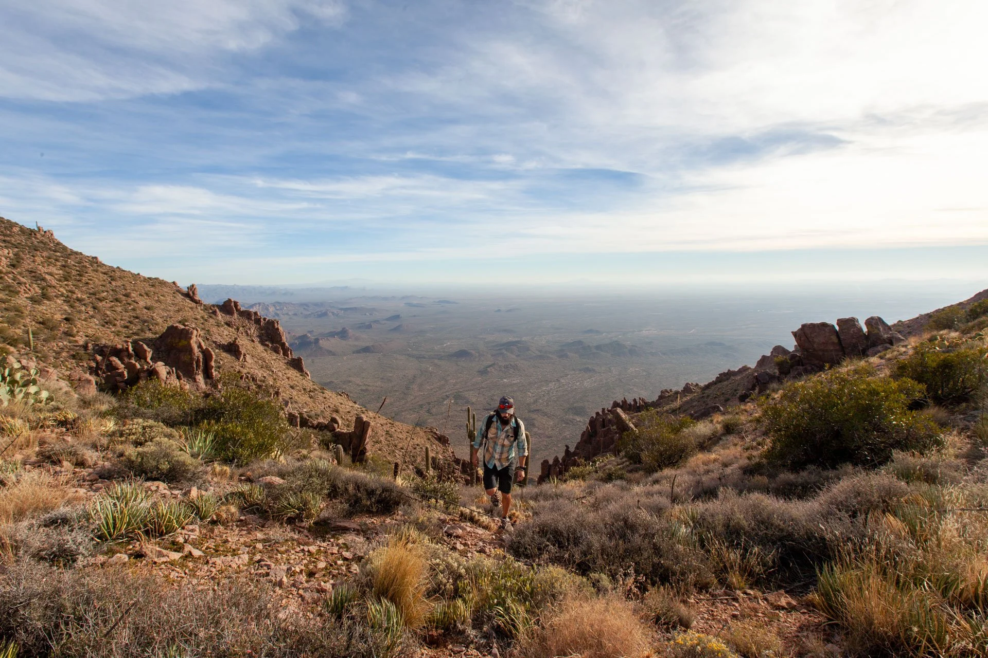
Finding the trailhead is easy, but just keep in mind, most hiking references that are listed online mention a parking area along the east side of the road that is red - it is now white. The trailhead is directly across the street, marked with a green sign. As with the majority of this hike, it starts off heading up hill at a nice steep and steady pace. Be sure to bring plenty of water and dress appropriately (sun screen, sunglasses, proper footwear, etc).

The first switchback portion of the hike offers killer views of the rolling hills and coastline before dipping into the jungle-like foliage. You quickly come across a small nook and cave-like area that has a Virgin Mary shrine along with some other very interesting trinkets. Catch your breath, snap some photos, just do you, then get back on that trail.

From this area, the trail does a few more switchbacks, climbing steadily up until you reach a Y in the trail. IF you head to the right, you will go to the plateau that is riddled with crosses - every year this trail is used for a tradition by local Catholics of stationing large crosses upon the secondary peak.

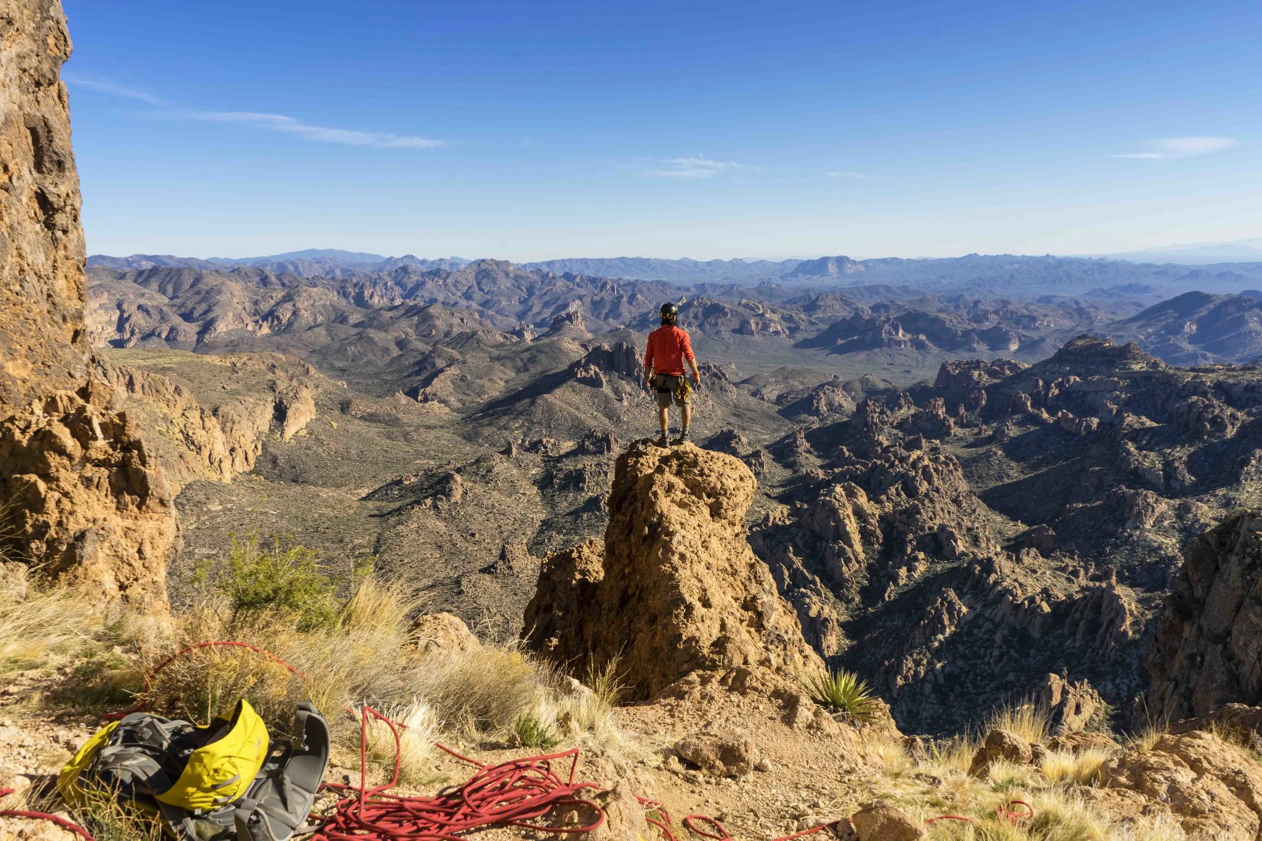
For the actual summit, take a left at the Y intersection and enjoy the reprieve of uphill hiking while you meander along the plateau making your way back towards the water. The trail careens in and out of shaded, densely populated patches of Guam island beauty. Eventually, the trail tucks into the trees and heads directly uphill via some boulder scrambling before revealing the summit. The US flag marks the spot.

There are fantastic views from the summit in all directions. I had the opportunity to watch a quick rain storm cruise it's away over the hills and all the way across the island. This hike should be a must for anyone visiting the island and looking to get some dirt on their toes.
“Lamlam means “lightning” in the local language, Chamorro.”
Interested in Working Together ?

Hi! I’m Nick & Thanks for stopping by!! I have been fortunate enough to create a career that supports my two greatest passions in life: Photography and Outdoor Adventure. Use the links below to learn more, or feel free to contact me directly!
Follow Along on IG: