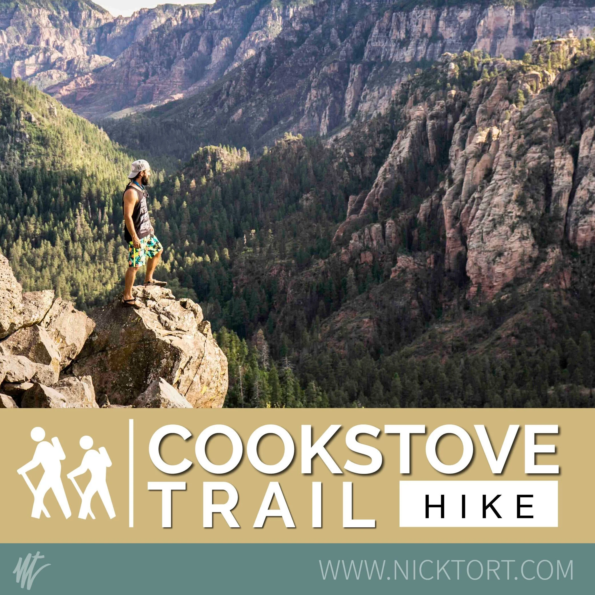
HIKE | COOKSTOVE TRAIL | SEDONA, AZ

hike | cookstove trail | sedona, az
cookstove trail
Trail Description
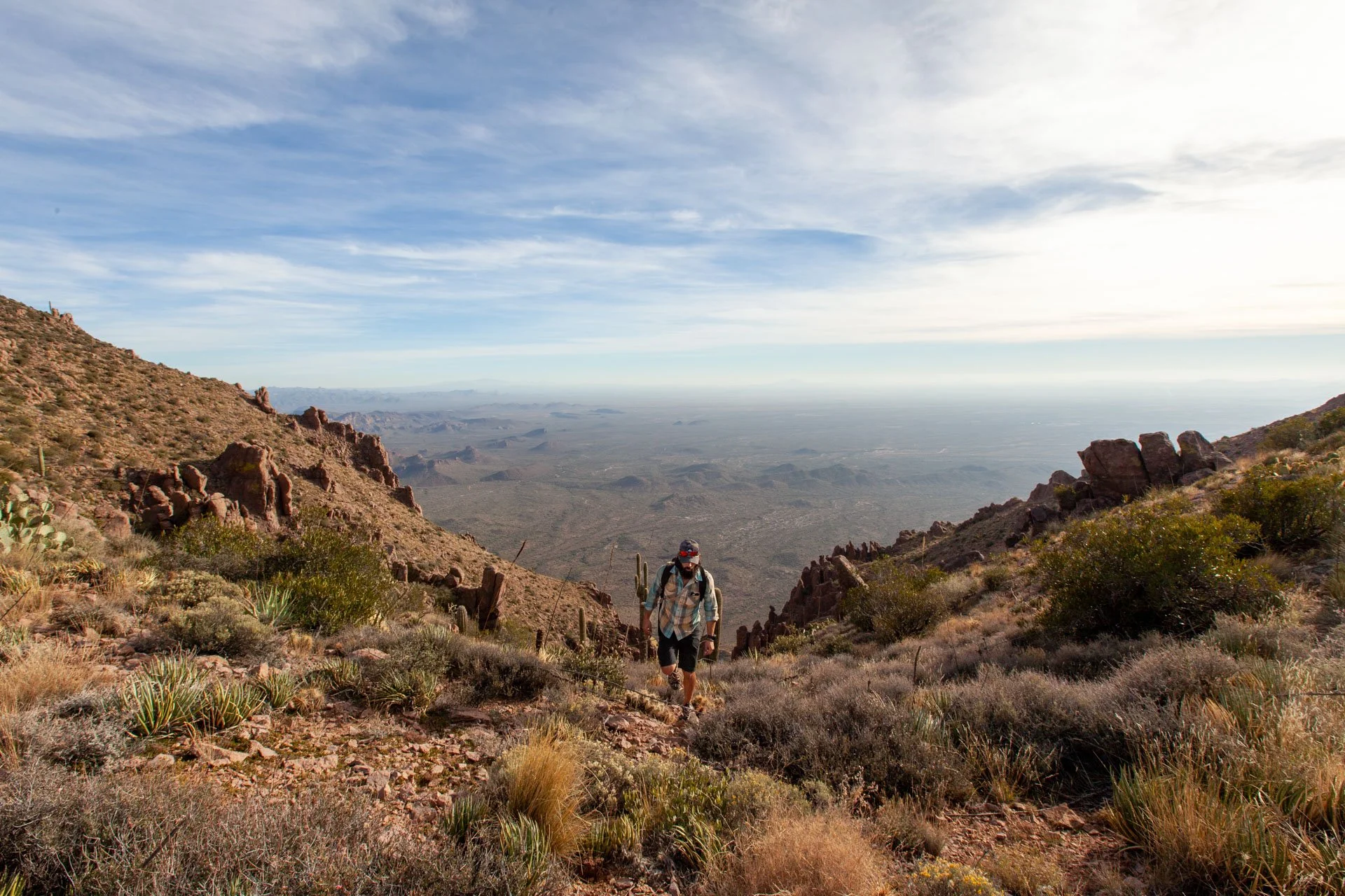
Cookstove Trail is a 1 mile moderately trafficked out and back trail located near Sedona, Arizona that features beautiful wild flowers and is rated as moderate. The trail is primarily used for hiking, nature trips, and bird watching and is best used from April until November. It is a less-traveled short jaunt up a gorgeous, but steep trail with sick views down Oak Creek Canyon looking towards Sedona offering a rare solitude in this area.

Either a compliment to a night spent at the Pine Flat Campground or a quick day hike to top of your Sedona/Oak Creek adventure, this short hike will give you an alternative, but comparatively gorgeous view of the Sedona Area.


Originally built to provide access for forest firefighters to Oak Creek Canyon’s wooded slopes, Cookstove Trail now offers nature lovers a scenic route to the canyon rim. The trail starts from the north end of Pine Flat Campground and immediately begins switchbacking up the steep slope of the canyon’s east wall. It climbs through an area forested with stands of mixed conifers, Gambel Oaks and both Utah and alligator junipers. The trees part at a number of points along the trail offering good views of the buff- colored cliffs of Coconino Sandstone and the remnants of an old volcano across Oak Creek. There are also some good views of the Route 89A switchbacks that lead into the canyon.
At the top of the climb, an outcrop of volcanic basalt provides a lunch stop where you can enjoy the view before heading back down the trail or continuing south along the canyon rim to the Harding Springs Trail for an alternate descent back to the highway.
This trail starts just north of Pine Flat Campground near milepost 387 and climbs steeply up through a forested area filled with conifers and a mix of juniper trees offering views of the East face of Oak Creek Canyon. It continues up to the edge of Cookstove Draw, where it gets even steeper making it's way to the flattened summit, gaining about 800 feet along the way.
There's a good chance you will have this trail all to yourself. It's a beautiful and serene hike as long as you can overlook the traffic noise from 89A below. You can either do this as an out-and-back, or as a loop connecting to the Harding Springs Trail (1.6 miles is the full loop distance).
Once you've rocked this hike and got your sweat on, find one of the many swimming holes along 89A to cool off.
PERMIT
Make sure you have your Red Rock Pass if you are planning on parking along 89A. A night spent at either Cave Springs Campground or Pine Flat Campground leaves you steps away from the trailheads for this loop.
MAP TO TRAILHEAD
Want to remember this for later?
Pin this to your favorite board!


INTERESTED IN WORKING TOGETHER?

Hi! I’m Nick & Thanks for stopping by!! I have been fortunate enough to create a career that supports my two greatest passions in life: Photography and Outdoor Adventure. Use the links below to learn more, or feel free to contact me directly!
Follow Along on IG: