HIKE | CHOLLA TRAIL | PHOENIX, AZ

HIKE | CAMELBACK MOUNTAIN | PHOENIX, AZ
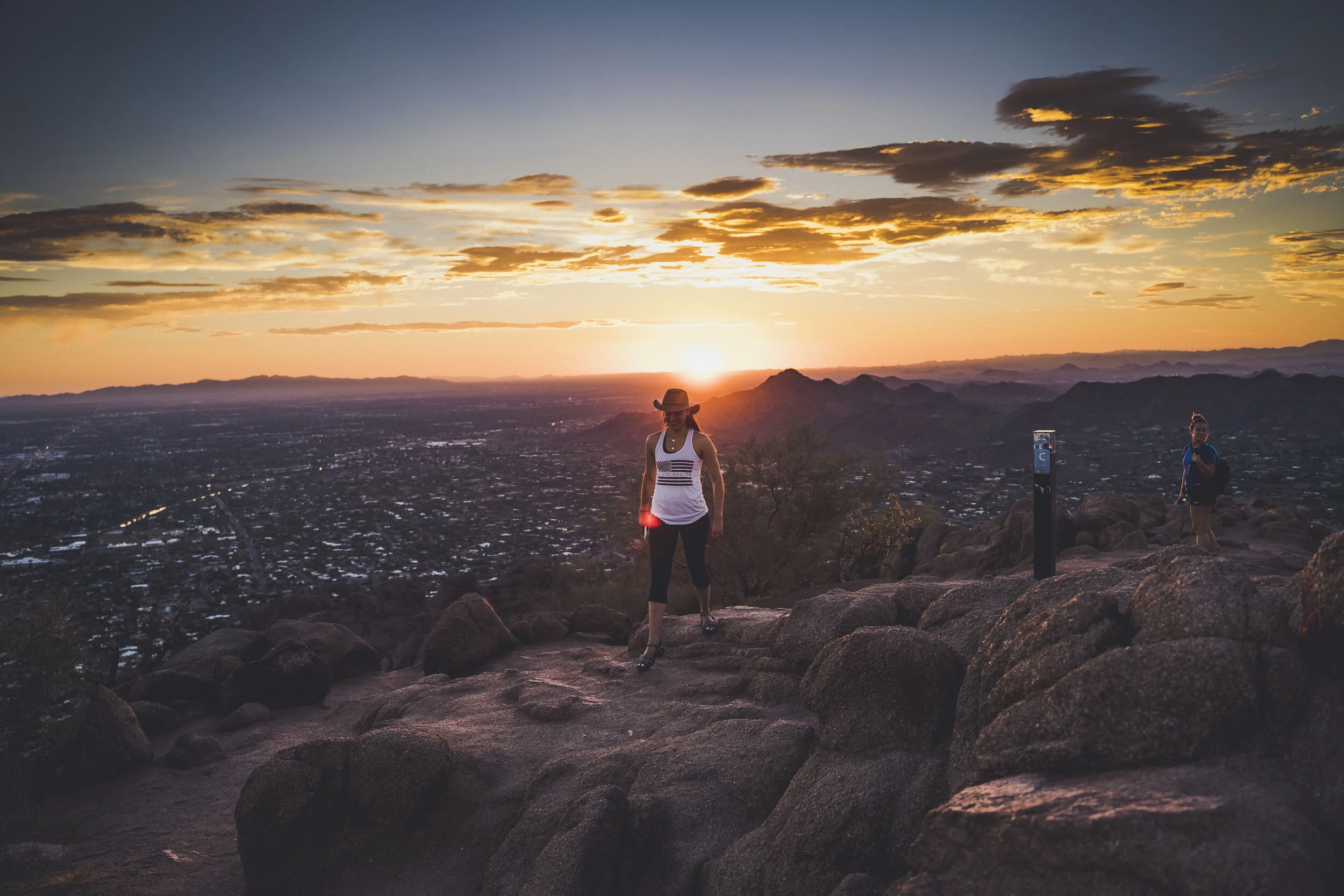
CHOLLA TRAIL
TRAIL STATS
Length: 1.2 miles one way Trail Type: Out and Back Trailhead Elevation: 1,420 ft.
Gain/Loss: +1,200 ft. Difficulty: Difficult Kid Friendly: No Dog Friendly: No (As of 2020)
TRAIL DESCRIPTION
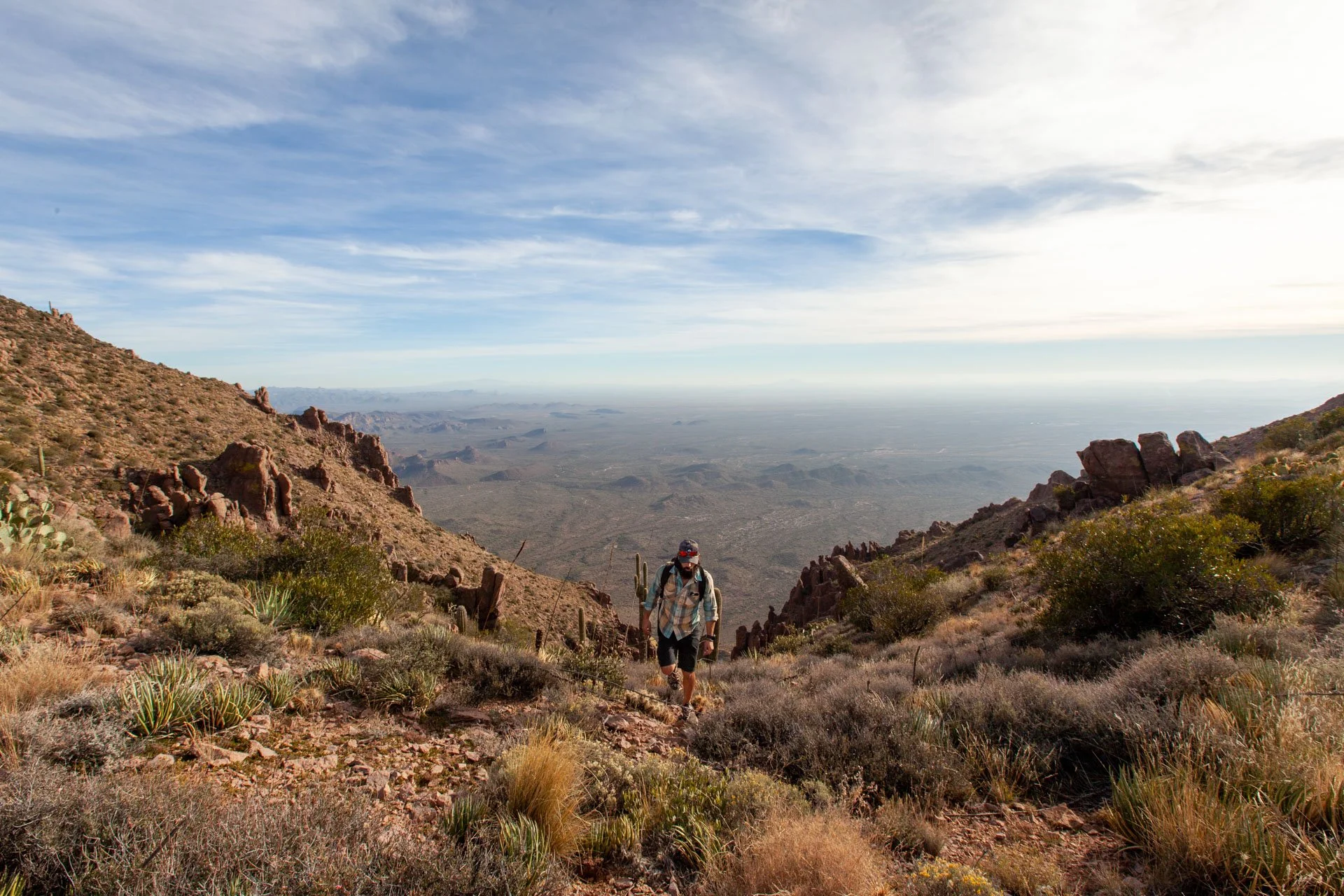
Cholla Trail is rated a double-black hike and is considered to be extremely difficult. It is 1.2 miles in length and ascends just over 1,200 feet on the East Side of Camelback Mountain. The rating takes into consideration the extreme heat that the valley is known for. Prepare yourself accordingly.
DOUBLE BLACK
The first mile of the Cholla Trail is a series of challenging, but rewarding switchbacks that offer some short climbs, and rough terrain. At the end of the first mile hikers end up at the rescue Helicopter Pad on a ridgeline with some great views. Some consider this a great place to turn around and finish their hike.
In the last 1/3 of the Cholla trail, climb hikers will encounter 50% or more steep grades, technical sections with drop-offs and low visibility of the trail. This part of Cholla is probably the most feared section of the mountain because of the steep drop offs on both sides. If you have a fear of heights you may want to take this section very slowly and turn around when you feel uncomfortable. Besides that, this side is also well worth the climb and the physical exertion. Hikers will encounter various types of wildlife such as Chuckwalla lizards, Roadrunners, Chipmunks, and, at times, snakes. This trail epitomizes the beauty of desert landscape offering an assortment of visible Cacti and Desert Plants. This challenging hike takes visitor hikers to the same breathtaking summit of Camelback Mountain as Echo Canyon Trail, with 360 degree views of the city.
The Cholla Trail is accessed on foot from the parking on Invergordon Drive on the East Side of Camelback Mountain. There is no parking, or dropping off on Cholla Road, or near the trailhead. There are no restrooms or water resources available at this trailhead.
HEAT NOTICE
This mountain is notorious for extreme conditions and every year many hikers are treated for heat exhaustion, falling accidents, and other related injuries.
This hike is not intended for summer usage and we absolutely do not recommend this hike in summer temperatures.
HIKING TIPS
Camera is a must have for great views
Bring plenty of water. Seriously, bring a lot of water.
For novice hikers, go slowly and don't rush. This is good advice for everyone but especially for those who are not used to walking on unstable ground.
This is a great alternative workout and be prepared to see several people trail running/fast hiking
Get there EARLY. Parking is a mess and watch out for no parking signs because it is enforced.
STAY ON THE TRAIL! Several people die every year (yes, die) because they wander off, get lost and get heat stroke or fall.
MAP TO TRAILHEAD
Interested in
Working Together?

Hi! I’m Nick & Thanks for stopping by!! This site is an outlet for me to explore and share my passion for adventure and travel.
Follow Along on IG: